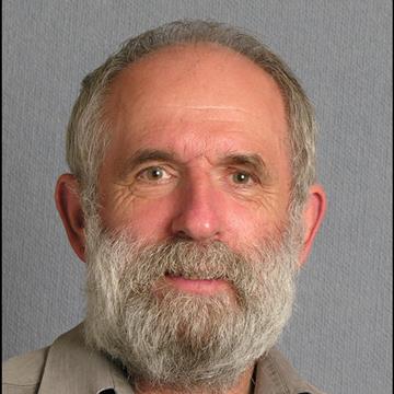
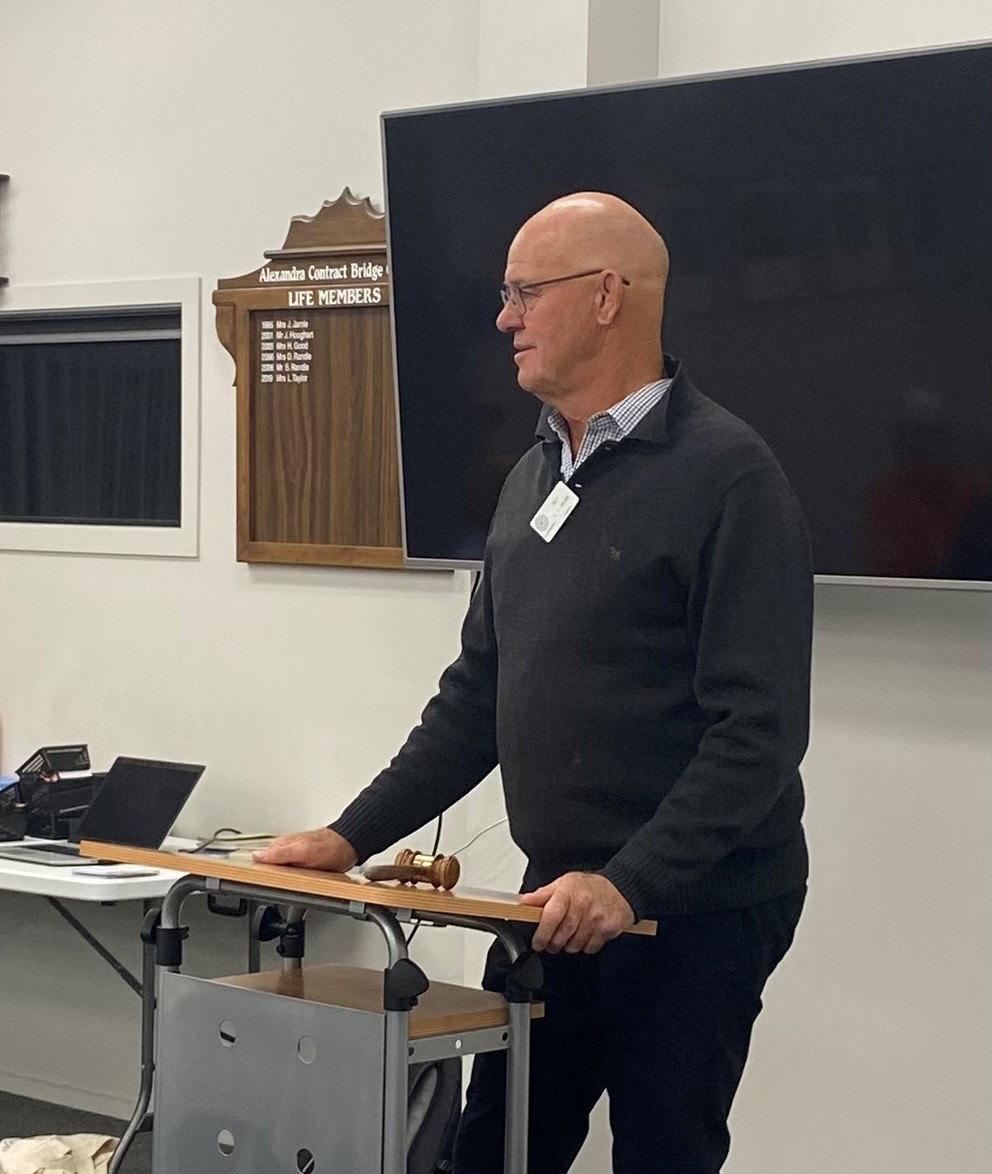
Martin Unwin Speaker Tuesday the 28th of April 2026
Martin spoke mainly about his father who with some colleagues set up the research station in Lauder. The station had originally been quite close to Invercargill at Awarua which was in the end not an ideal site due to often foggy weather and therefore poor visibility.
A better site was needed and sites in both the North and South Islands were considered. Eventually Lauder in Central Otago was chosen because of consistently good weather in that area.
During WW11, Martin's father and colleagues after a crash course in radar technology helped the Americans find and destroy Japanese Radar installations in the pacific islands.
They later used this radar technology particularly at Lauder, to look at various environmental phenomena including aurora. The height of aurora can be determined for instance using radar technology.
Lauder (from the internet)
It was the Cold War and global superpowers the USSR and the United States were in a rush to the stars. The International Geophysical Year (IGY), a period from July 1957 to December 1958, encouraged an increase of scientific interchange between East and West which had long been constrained by the Cold War.
The Soviet Union and the US began launching artificial satellites, seeing the world from a different perspective for the first time.
And a remote stretch of Central Otago in the middle of farmland began to emerge as a key scientific site. Niwa’s Lauder Atmospheric Research Station celebrates 60 years of science next month. The site was set up to study the Aurora Australis — the Southern Lights.
The very first iteration was an instrumented truck that was driven around the South Island looking for the best place for auroral studies before settling on Lauder. That was the original impetus for setting up the site in Lauder.
As the satellite era began to develop in the ’60s and early ’70s the site became a receiving station. At that time, you couldn’t hold much data on board a satellite so you needed a lot of stations around the world for downloads.
In the ’70s, as passenger airliner the Concorde began operation, there was an expectation that an age of supersonic travel could spread around the world. "The Americans and the Russians also had plans for similar aircraft. Aircraft flying in the stratosphere up to about 15km high were expected to emit oxides of nitrogen from their jet engines, affecting the ozone layer.
So, scientists at Lauder began measuring nitrogen dioxide in the stratosphere. In the early ’80s, information about an ozone hole in the Antarctic emerged and there was a sudden flurry of activity in the scientific community to try to understand what was causing it.
It turned out nitrogen dioxide measurements taken in Lauder were very important to resolving arguments about what caused the ozone hole and make it very clear that it was the chlorine from chlorofluorocarbons (CFCs) used as aerosol propellants and refrigerants.
That early data put the Lauder site on the map as an important measuring station for the chemistry of the stratosphere. Lauder might be almost unknown to many New Zealanders, but it was highly regarded in the international scientific community. There were about nine atmospheric scientists and technicians at the site.
The measurements made at Lauder are important because they provide a consistent, high-quality baseline and data has been consistently recorded for decades.
Satellites are great because they can make a measurement everywhere, but a satellite is only up there for a few years, possibly 10 if you are lucky, but then it will stop working, and there might be a gap before you can put up another one. In order to compare data from different satellites there needed to be something on the ground that would be a reference site, with clean background level conditions.
Lauder’s location was a site with very little pollution, and clean air with very few aerosols. There were many sites like Lauder in the northern hemisphere but very few in the southern hemisphere. Lauder was almost one of a kind and probably the best instrumented site in all of the southern hemisphere. Having something like the long-term stability of our funded science is really unique.
As well as maintaining instrumentation at Lauder, the team remotely controlled instruments situated in the Antarctic, Australia, Hawaii, and Boulder in the US. As well as sharing data with the international scientific community, the site hosts instruments for other scientific organisations in Germany, Japan and the US. It is very much a collaborative effort.